Belgium & Lux VFR Chart 1:500 000 - Rogersdata
Pooleys stock code: ICH572
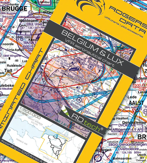
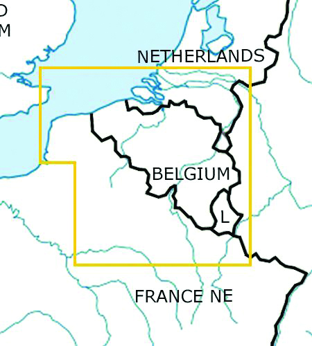
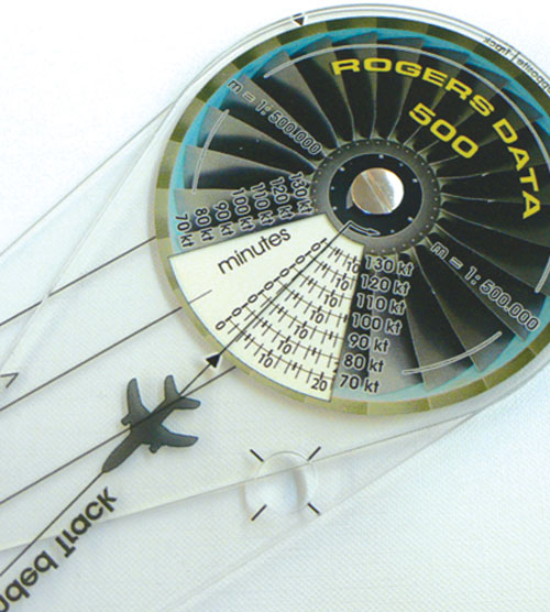
Belgium & Luxembourg VFR Aeronautical Chart – ICAO Chart 500k
Buy a full set of 2 Benelux 1:500,000 charts (Belgium, Luxembourg & The Netherlands) and get 10% discount!
Special features for this region:
- TRAs temporary reserved airspaces
- TSAs temporary segregated areas
- ATZs aerodrome traffic zones
- Windmills and windturbines
- Aerial sporting and recreational activities
- Military exercise and training areas
All Rogers Data VFR charts are designed to the following criteria:
- Aeronautical chart on a scale of 1:500.000
- According to ICAO Annex 4; EU-Commission Regulations; AIP
- Clear representation of the ATS airspace structure
- Detailed highly sophisticated terrain map with shading and relief
- Airports, aerodromes and heliports with additional information
- Radio Navigation Aids with name, frequency and morse code
- Compulsory reporting points, reporting points on request, significant points (border crossing)
- Danger- and restricted areas
- Obstacles or group of obstacles
- Minimum Grid Area Altitude
- With the Rogers Data navigation compass 500, track, time and distance in the scale of 1:500.000 can be easily measured.
Please allow 5 working days for delivery. Not available for Guaranteed next day delivery.
Chart:
From £21.70 £21.70 inc. VAT (Exempt)*