Ireland VFR Chart 1:500 000 - Rogersdata
Pooleys stock code: ICH562
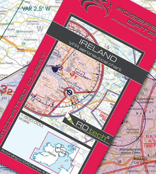
Ireland VFR aeronautical chart – ICAO chart 500k
Special features for this region:
- VRP Visual Reference Point
- Windfarm area, Offshore area
- Lightships, Marine Lights
- ARA Advisory Radio Area
- AIAA Area of Intense Air Activity
- GVS Gas Venting Site
- HIRTA High Intensity Radio Transmission Area
- Laser Sites
- AARA Air to Air Refuelling Area
- ATA Aerial Tactics Area
- Areas with sensitive fauna
- Helicopter Routes.
All Rogers Data VFR charts are designed to the following criteria:
- Aeronautical chart on a scale of 1:500.000
- According to ICAO Annex 4; EU-Commission Regulations; AIP
- Clear representation of the ATS airspace structure
- Detailed highly sophisticated terrain map with shading and relief
- Airports, aerodromes and heliports with additional information
- Radio Navigation Aids with name, frequency and morse code
- Compulsory reporting points, reporting points on request, significant points (border crossing)
- Danger- and restricted areas
- Obstacles or group of obstacles
- Minimum Grid Area Altitude
- Isogonic line model with magnetic variation
- With the Rogers Data navigation compass 500, track, time and distance in the scale of 1:500.000 can be easily measured.
£25.95 £25.95 inc. VAT (Exempt)*