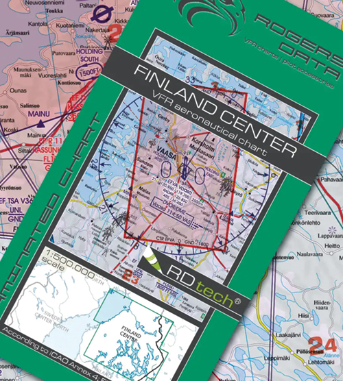
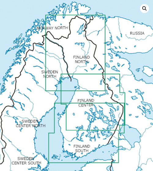
2024 Finland Center VFR Chart 1:500 000 - Rogersdata
Pooleys stock code: ICH594/Share
Product description
Finland Center VFR Aeronautical Chart – ICAO Chart
Edition 2024
Special features for this region:
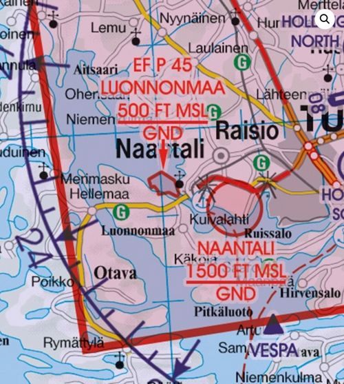
- Quarries and blasting sites acc. ENR 5.3
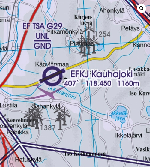
- Detailed presentation of P, R and D areas
- Aerodromes with anticipated glider activity
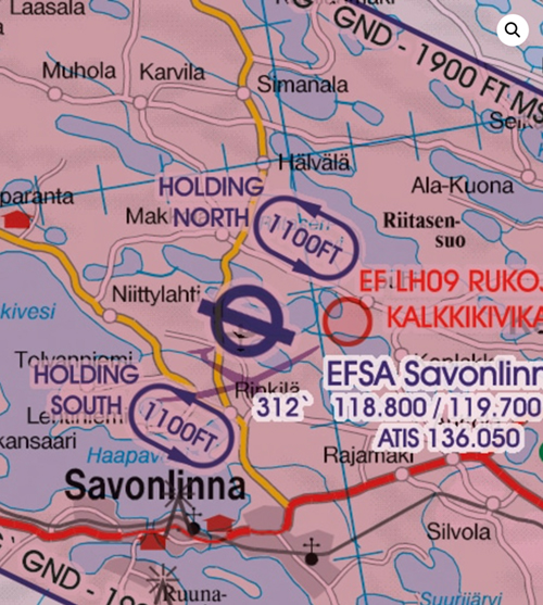
- Visual approach procedures of major aerodromes
- Windfarms with elevation
All Rogers Data VFR charts 500k are designed to the following criteria:
- Aeronautical chart on a scale of 1:500.000
- According to ICAO Annex 4; EU-Commission Regulations; AIP
- Clear representation of the ATS airspace structure
- Detailed highly sophisticated terrain map with shading and relief
- Airports, aerodromes and heliports with additional information
- Radio Navigation Aids with name, frequency and morse code
- TMZ transponder mandatory zones
- Compulsory reporting points, reporting points on request, significant points (border crossing)
- Danger- and restricted areas
- Obstacles or group of obstacles
- Minimum Grid Area Altitude
- Isogonic line model with magnetic variation
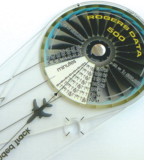
- With the Rogers Data navigation compass 500, track, time and distance in the scale of 1:500.000 can be easily measured.