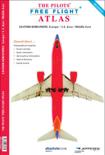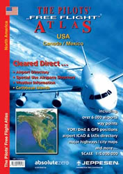
Pilots Atlas - USA
Pooleys stock code: BTC038/Share
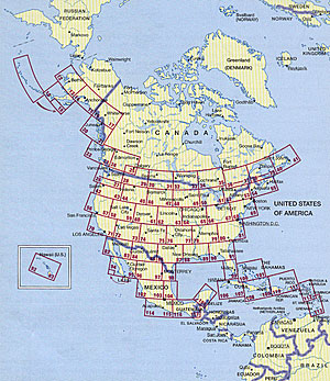
Completely new cartography | Completely new aeronautical data | New airport directory | New overview maps | New Captain's Corner | Expanded Area | 16 additional pages cartography | now 224 pages content 158 pages maps | 39 pages Captain's Corner | 27 pages overviews | with ICAO-codes, waypoints, VOR's, NDB's, etc. restricted, prohibited and danger areas | High quality, foiled cover | Size 20 x 28cm / 8 x 11 inch.
Product description
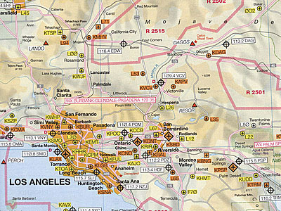
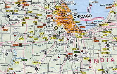
Base cartography is the US Road-Atlas 1: 2.000.000 which includes mountain ranges, lakes, rivers, etc. As well, all other elements such as cities, towns. Parks and points of interest or historic value and of course, the railways and motor-ways themselves.
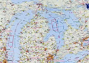
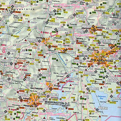
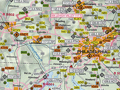
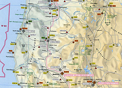
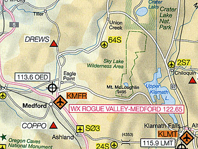
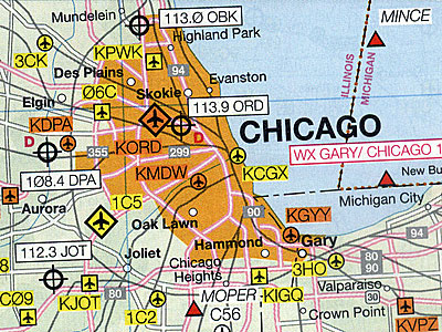
To this, we have added all airports in USA (over 5,500) and colour coded them by runway length /surface and category i.e. International, Regional, Civil/Military, etc. VOR/DME , Reporting points, Waypoints), Volmet frequencies and special Use Airspace are also shown making our new "Pilots' Atlas" the first of it’s kind.
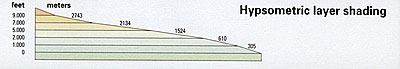
Elevation by colour
Coloured tints provide generalised terrain elevations.
Weather stations frequencies
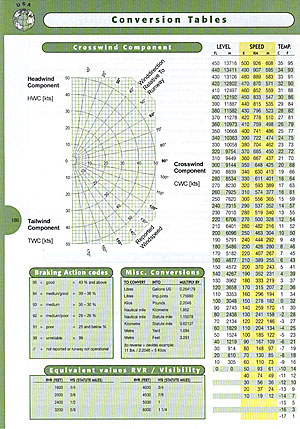
Weather stations frequencies (VOLMET) are shown on each page for easy use. ATIS frequencies are found in the airport directory in the Captain's Corner.
Navigation aids
VOR/DMEs, NDB's are included so that you are able to locate your position immediately in relation to surrounding airports, landmarks and points of interest.
Points of interest/major highways
You find over 3,500 points of interest for better passenger announcements, including geographical, cultural and historical information. Highways, railways and landroads are indicated. Also included are lakes, rivers and mountain ranges depicted in color.
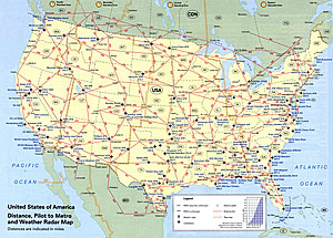
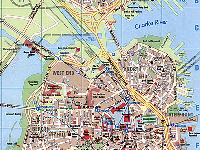
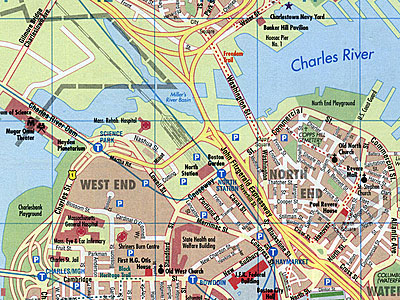
Major highways and city maps
11 city maps of the most important cities in USA are depicted as well.
Airports with ICAO
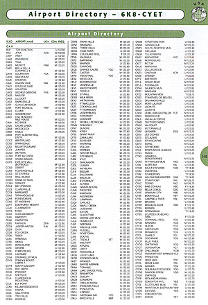
All airports large and small are included with 4-letter ICAO-codes and have been color coded by runway length / surface and airfield type. In the Captain's Corner you find a list of more than 5,500 North American airports sorted from A to Z with 4-letter ICAO location identifiers, 3-letter IATA location identifiers and ATIS frequencies.
Glider fields
Glider field positions in North America are shown by a special sign for easy identification. All ICAO-codes are inserted in the maps and the airports have been colour coded by runway length / surface and airfield type.