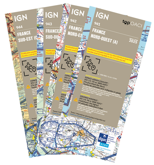
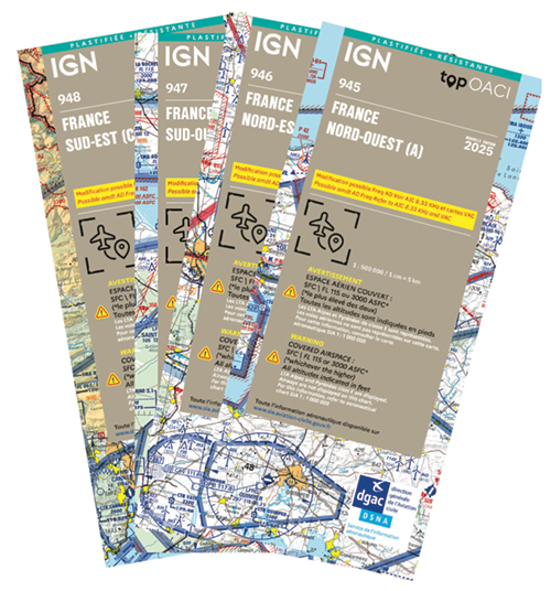
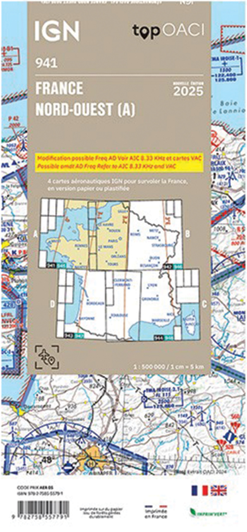
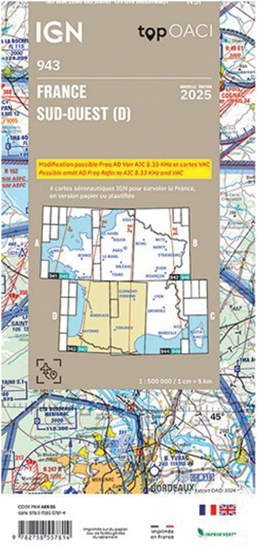
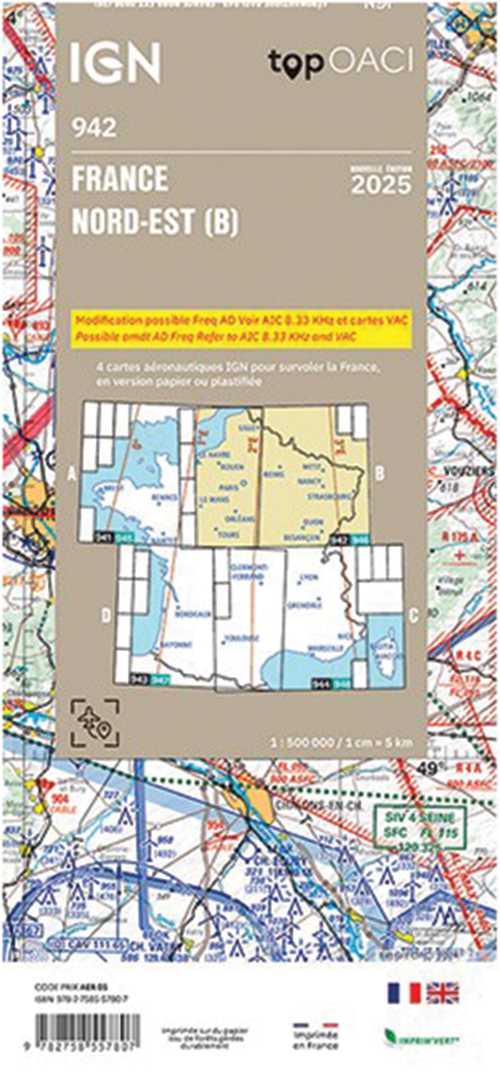
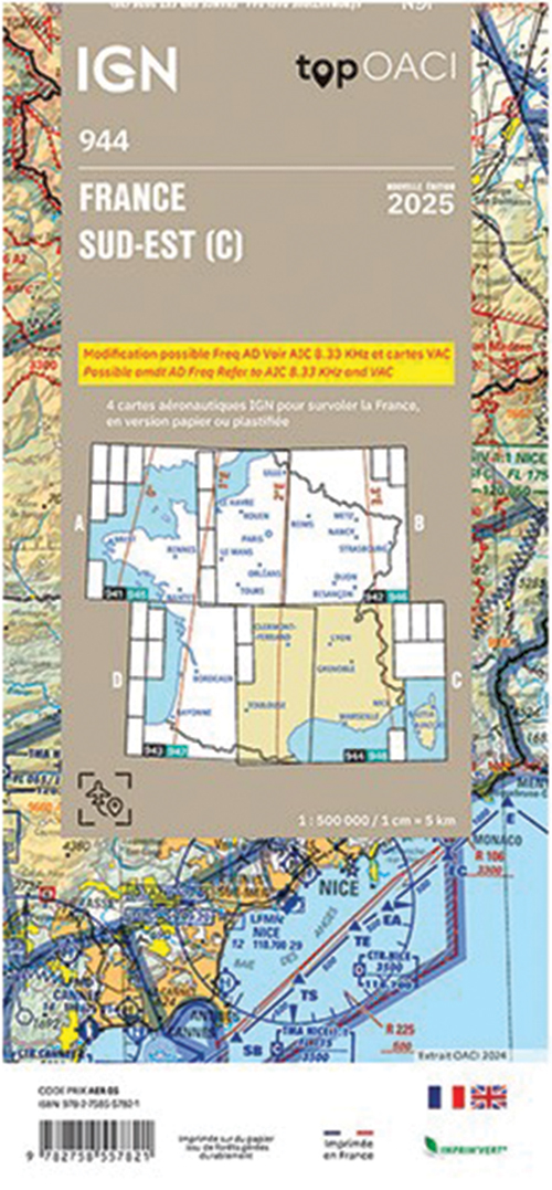
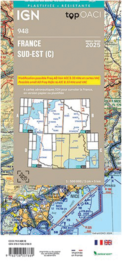
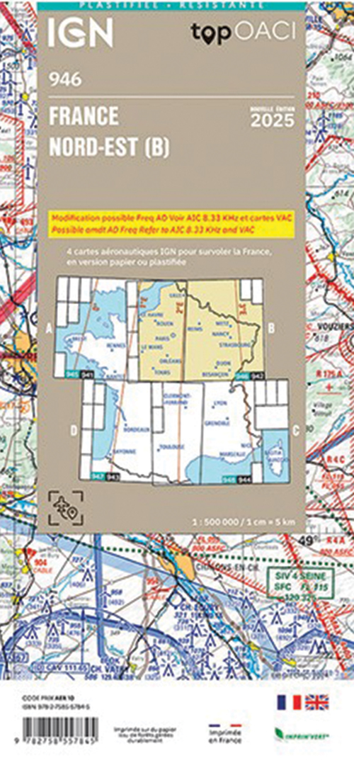
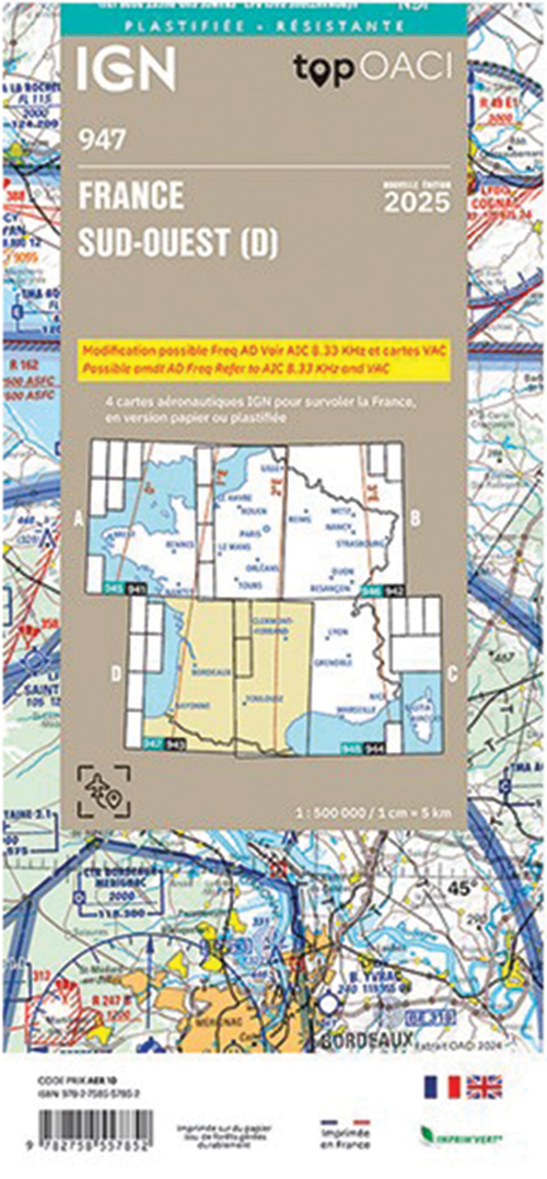
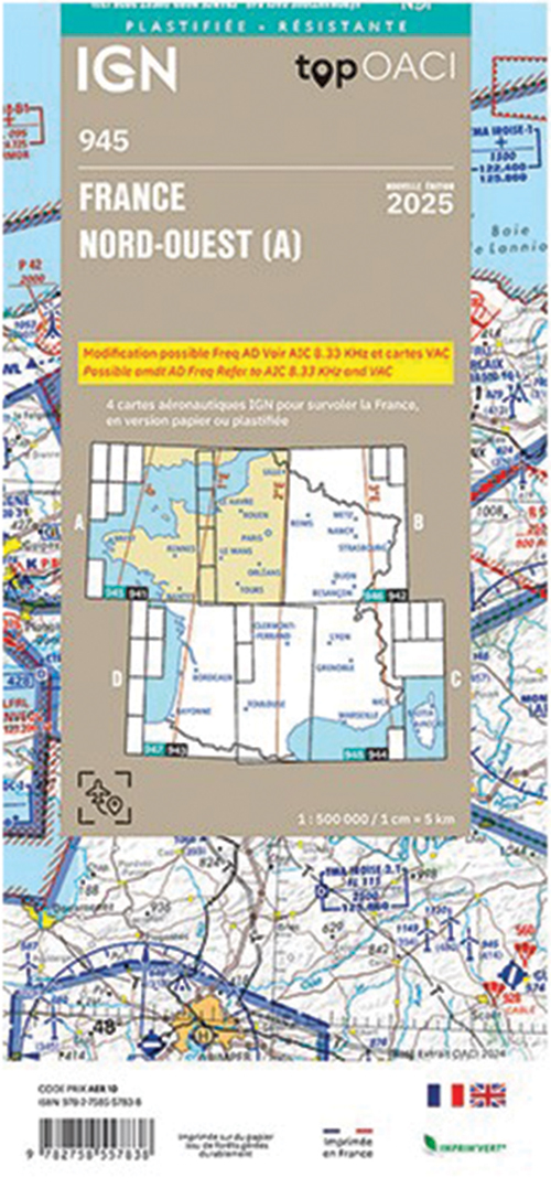
2025 France ICAO Charts - Laminated or Paper 1:500,000
Pooleys stock code: CFR5-0/Share
2025 Charts
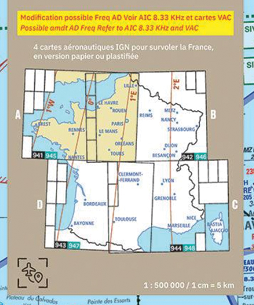
Buy a full set of 4 France 1:500,000 laminated or plain charts and get 10% discount!
ICAO (International Civil Aviation Organization) aeronautical charts are published and produced each year by the IGN, in close collaboration with the Aeronautical Information Service (SIA). Designed for visual flight, they offer aeronautical information provided by the French Civil Aviation Authority (DGAC).
Scale 1:500,000 (1 cm = 5 km)
Product description
2025 Charts
We have PLAIN (941-944) or the LAMINATED (945-948) versions similar to the UK CAA charts which provide extra durability. Series of topographical charts showing airfields, radio beacons and aeronautical information up to 5,000' AMSL or 2,000' AGL whichever is higher. FL115.
Also includes restricted airspace, danger areas and radio navigation information, including locations of NDB, VOR, VOR/DME, TACANS and VORTACs.
Buy a full set of 4 France 1:500,000 laminated or plain charts and get 10% discount!
ICAO (International Civil Aviation Organization) aeronautical charts are published and produced each year by the IGN, in close collaboration with the Aeronautical Information Service (SIA). Designed for visual flight, they offer aeronautical information provided by the French Civil Aviation Authority (DGAC).
Scale 1:500,000 (1 cm = 5 km)
IGN ICAO (International Civil Aviation Organisation) charts are aeronautical maps used by pilots for air navigation. These charts provide detailed information on airspace, airports, navigation aids, air routes, and other essential elements for flight planning and execution. Designed by IGN, in close collaboration with the Aeronautical Information Service (SIA), these charts offer the accuracy and reliability essential to ensure the safety and efficiency of air travel. They are an essential tool for professional and amateur pilots, facilitating airspace navigation by providing up-to-date, region-specific data.