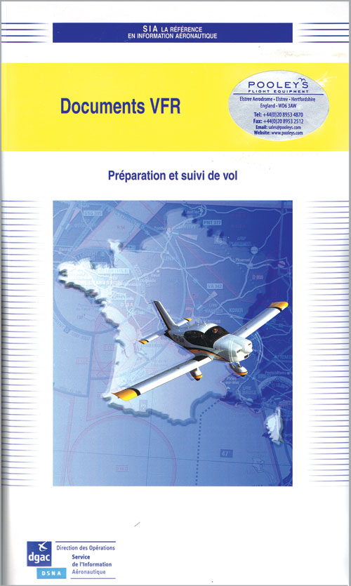
French Radio Navigation Chart Pack 2025 – Documents VFR France
Pooleys stock code: CFR600/Share
This incredibly useful pack covers French airspace above 5000ft AMSL and 2000ft AGL (which ever is higher) and provides complete instrument navigation data.
Product description
VFR France VFR Document Pack
1st Edition 2025
***Paper map*** - Effective from April 17, 2025.
This incredibly useful pack covers French airspace above 5000ft AMSL and 2000ft AGL (which ever is higher) and provides complete instrument navigation data.
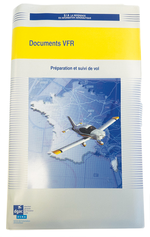
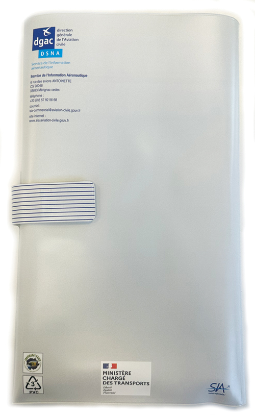
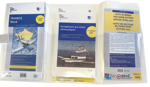
There is a pilot's information guide written in both French and English explaining restrictions and regulations for safe flight within the area covered and a wallet to keep the pack together and protected. The chart set contains 2 x 1:1,000,000 charts covering the whole of France.
The documents included are:
- Supplement to Aeronautical Charts (1st Edition) containing essential information for using aeronautical charts
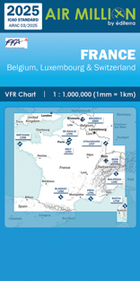
- 1/1,000,000 Aeronautical Charts of North France & South France (1st Edition)
- RTBA (Very Low Altitude Network) Map (1st Edition)
- The BRIA Brochure